R) Rushmore Summer Hike Series
U) More Adventures than any group
S) Get in shape – Connect – Explore
H)?Do More – Live More – Hike More?
EVERYTHING YA NEED TO KNOW:
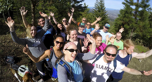
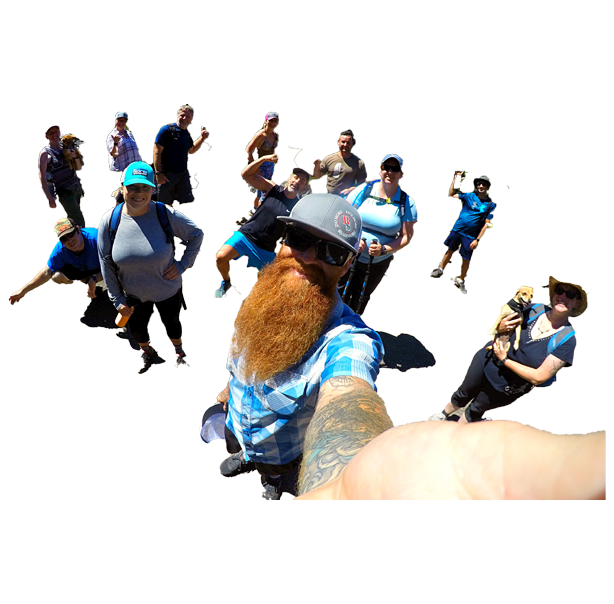
The Rushmore Society, your real life social network of very busy people, INVITE ALL to join us for our 2018 Summer Hiking Series (and our fourteenth hike overall).
Trail geeks unite, we’re headed out to the Applegate for a half-day adventure, and solid workout on the newly rejuvenated East Applegate Ridge Trail (A.R.T.). The reward? ?Gorgeous Upper Valley Views?
?HIKE FOURTEEN IS RATED “M” FOR MODERATE. We cover 5.6 miles and 1,662 ft elevation gain?
MEMBERSHIP MAKES EXPLORING EASY:
Join Rushmore for over THIRTY TWO HIKES between April and October.
- ?WE DO ALL THE WORK TO LEAD
- ?YOU KICK BACK & HIGH FIVE THE WORLD
- ?ENJOYING ALL THE ADVENTURES
Learn what everyone is raving about, and try a whole month on us for FREE using the code “HikeRush” when you check out at membership!
RUSHMORE HIKE BASICS:
WHO: All welcome / MEMBERSHIP DETAILS ABOVE
VIBE: Social — Positive — Fun
WHAT TO BRING: Lunch – Water – Camera – Smile – Sunscreen – Hat – Good Trail Shoes
EAST A.R.T HIKE SPECIFICS:
CARPOOL POINT: Schoolhaus Brewhaus / 8:30 am
HIKE DEPARTURE: 8:50 am
ESTIMATED RETURN: 1:30 pm
POST HIKE FOODS: Schoolhaus Brewhaus
DOGS: Yes, doggies are allowed
RSVP ON FACEBOOK RIGHT HERE SOON
The new (open to the public July 2017), and very beautiful 5.6-mile East ART is on the eastern end of the of the proposed 50-mile Applegate Ridge Trail (ART). Hikers can park at a roomy trailhead accessed from a gravel road off Sterling Creek Road, hike a few hours on a gorgeous trail of easy to moderate difficulty and if desired descend through the woods to a smaller, as yet undeveloped, trailhead on Hwy 238, between Forest Creek Road and Longanecker Road.
The trailhead at eastern end of the E ART is located off Sterling Creek Road at the end of the short (6/10-mile), BLM road 38-2-29.1.
The Applegate Valley and surrounding Siskiyou Mountains provide some of the best non-motorized trails in Southern Oregon (if not in the Pacific Northwest!). Whether you are a hiker, equestrian, or mountain biker, the recreation in our valley is nonpareil. The Applegate Trails Association (ATA) leads hikes for the general public, maintains the trail system at Cantrall-Buckley County Park and stewards an exciting and ambitious project–the proposed Applegate Ridge Trail (affectionately referred to as the ART). Our vision is that the ART will span from the Cathedral Hills trail system south of Grants Pass to the Jacksonville Forest Park trail system, where it meets the“JackAsh Trail” in Jacksonville, under construction by the Siskiyou Uplands Trails Association (SUTA), to provide a continuous trail from Jacksonville to Ashland.
The 50-mile trail will follow the ridges that overlook the Middle Applegate and cover a broad range of ecosystems, such as majestic forests, flower-filled meadows, open fields, and lush riparian zones, showcasing the rich flora and fauna of the Middle Applegate. Users will be able to access the trail from various trailheads in the Applegate and Rogue valleys and to hike the whole trail, or segments of varying lengths, enjoying the mountain serenity beyond the noise and clamor of the world in the valleys below.
DRIVING DIRECTIONS FROM BREWHAUS: Take Hwy 238 for 2.6 miles to Cady Road which is at the top of the Jacksonville Hill. Take a left onto Sterling Creek Road, go ½ mile and turn right onto Sterling Creek Road. About 125 yards past the 4-mile marker on Sterling Creek Road turn right and proceed to the trailhead. The access road is rough but passable for most vehicles.
New Places, Fresh Faces, RSVP RIGHT HERE SOON!
The Rushmore Society is your premiere real life social network of very busy people living life to the fullest with Adventure, Connection and Play. Do More, Live More, Rushmore.


