?2020 Summer Adventure Series?
⛰️ JOIN RUSHMORE TODAY ⛰️
BECOME A MEMBER
⭐CREATE THE LIFE YOU DESERVE⭐
AND GET TWO MONTHS FOR ONE:
USE THE CODE “RUSHBACK“
Who We Are – What We Do – Why We Do It
LOOKING FOR FUN ADVENTURE?
WHY MEMBERSHIP MAKES SENSE
WE PROVIDE EVERYTHING YOU NEED:
Thirty-two Hikes April thru November
⭐ Carpooling – Maps – Hike Difficulty Rating
⭐ Evenings & Weekends – Doggie Info
⭐ Perfect Picture Spots – Post-Hike Fun
⭐ Cool People – Rad Concept – Good Vibes
LOOK OUT HOBART LET’S GO
☀️ GET FIT – CONNECT – EXPLORE ☀️
RUSHMORE HIKE BASICS:
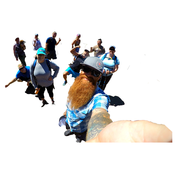
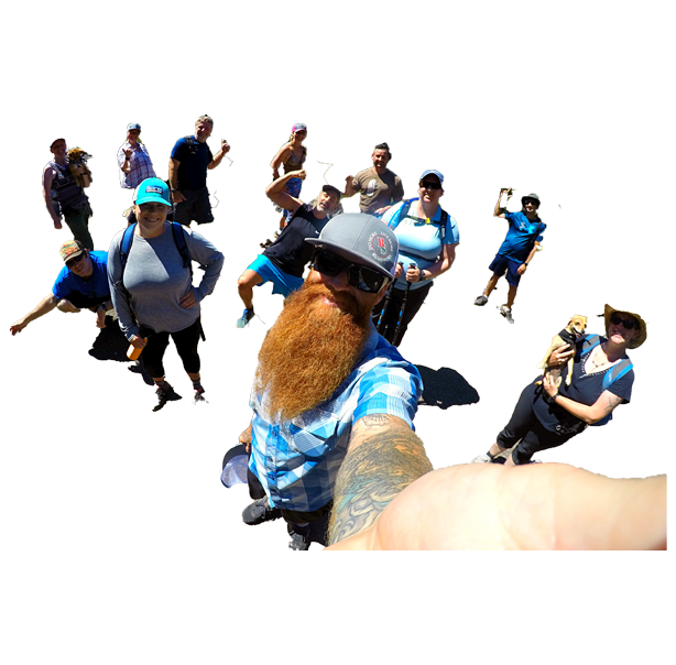
The Rushmore Society, your real life social network of very busy people, INVITE ALL to join us on our famous Southern Oregon hikes. It’s one of the easiest, coolest ways to meet neato active people!
WHO: All welcome / MEMBERSHIP DETAILS ABOVE
VIBE: Social — Positive — Fun
WHAT TO BRING: Lunch – Water – Camera – Smile – Sunscreen – Hat – Good Trail Shoes – Head Lamp or Flashlight if you happen to have one (not necessary).
HOBART BLUFF SPECIFICS:
CONNECTION POINT: Luna Cafe
CARPOOL DEPARTURE: 20 min after meet
ESTIMATED RETURN: 3 hours
DOGS: Yes, doggies are allowed
HIKE DIFFICULTY RATING: moderate
HIKE DISTANCE: 7.1 miles – 986 elevation gain
COMPLETE HOBART DESCRIPTION:
Do More, Live More Hikers unite, we’re headed out for a solid workout up the back side of Hobart Bluff. The reward? Gorgeous views between Pilot Rock and Mt. McLoughlin.
Hobart Bluff is part of the Western Cascades, a range of weathered volcanic mountains that are much older than the High Cascades that most people think of today, the range of Shasta, Rainier, and Hood. These mountains are shorter as a result of the work of time and usually have summits wrapped in forest, but not Hobart Bluff. Here, the igneous rock outcrop stands above the manzanita, void of trees save for a few hardy junipers. The short hike to the summit affords marvelous views of the Rogue Valley below, with the town Ashland readily visible to the west.
The first mile of the hike rolls up and down along the Pacific Crest Trail, heading north from a clearing into a forest of Douglas Fir, Ponderosa Pine, and Incense Cedar. Roughly a half-mile in, the trail hits a low saddle and passes through an oak woodland, a great place to look for galls – the homes of wasp larvae implanted on the trees (they’re usually brown balls, but sometimes are a spotty red). It’s also a great place to look up, because the bluff that stands prominently to the north is Hobart, and soon you’ll be on top.
Shortly after the saddle, the forest gives way to an environment more akin to the high desert, with open grassy slopes, clusters of manzanitas, and juniper trees. After roughly a mile of hiking, a marked side trail turns left and heads for the bluff. Most of the elevation climb happens here and the spur trail is almost entirely unshaded, so it can get a little toasty hiking up here in the summer. Eventually, the trail winds up to a level patch of rock, but this is not the true summit. Keep heading southwest to reach the top, dropping briefly into a thickly vegetated saddle before emerging on the open and panoramic high point.
Good views abound on clear days. To the west and north lies the Bear Creek arm of the Rogue Valley, flanked by the Cascades on the right and the Siskiyous on the left (hence the name of the monument you’re in!). Mt. Ashland stands tall nearly due west, marked by ski slopes and topped with the soccer-ball-esque radar station. To the north, Mount McLoughlin peers over the ridges, the highest point in Jackson County at 9,495 feet in elevation, nearly 4,000 higher than Hobart Bluff. To the southwest, Pilot Rock juts into the sky, and in the south Mount Shasta rises high above everything else, high enough to peek (or perhaps “peak”) over the ridges around Soda Mountain.
DRIVING DIRECTIONS FROM LUNA: Head out hwy 66 for 15.7 miles. Turn off is on the right. We prefer the longer route off of 66, instead of the shorter (and family-friendly) trail from the west (down Soda Mountain Rd). Park off 66 between mile post 15-16, just look for the signs on your right!
But sometimes we do the shorter version as well. Check the Facebook Event Page for the specific route for this event.
The Rushmore Society is your premiere real life social network of very busy people living life to the fullest with Adventure, Connection and Play. Do More, Live More, Rushmore.
