R) 9,495 ft into the Southern Oregon sky
U) Join Rushmore, summit Mt. Mcloughlin
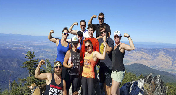
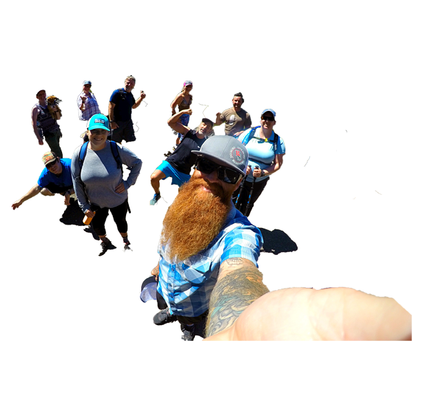
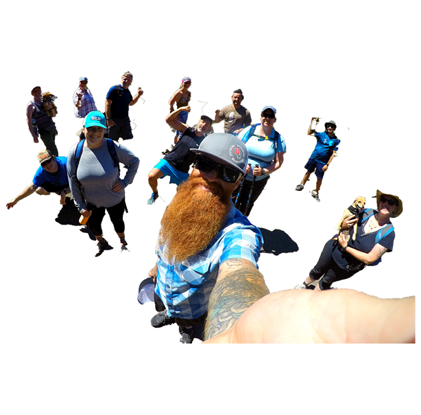
S) Teamwork, fun, and views for days
H) All well-conditioned adventurers welcome
******UPDATE******
CURRENT WEATHER CONDITIONS
HEAVY SNOW ON TRAIL
PLEASE STAY TUNE!
The Rushmore Society, your real life Social Adventure Network of Very Busy People, invite all to join us as we adventure and climb the iconic Southern Oregon peak, Mt. Mcloughlin.
Not to be taken lightly, but certainly doable, reaching the top of Mt. McL requires no gear except good hiking shoes, lots of water and snacks, and tons of determination.
This caps off our 13-hike Summer Series, and leads us into our 8-hike Fall Series, so now is the time to join Rushmore!
SEE COMPLETE DETAILS:
WHO: Members & Non-Members alike
VIBE: Social, adventurous teamwork
DOGS: Nope
KIDS: 21+, or member with kiddo
CARPOOL CONNECTION TIME: 7:45 am
CARPOOL CONNECTION POINT: N. Fred Meyers
DEPARTURE TIME: 8:15 am
RETURN TIME: 6 pm
WHAT TO BRING: lots of water (more than you think), snacks and a full lunch to eat at the summit, $$ for gas and trailhead fee ($5), sunscreen, hat, layers of clothes, good hiking shoes, tracking polls, camera, a big smile.
HIKE DISTANCE: 10.2 miles
ELEVATION GAIN: 3,812 ft.
HIKE DIFFICULTLY: Very Difficult
ESTIMATED TRAIL TIME: 7 hrs
EXPERIENCE NEEDED:
The Rushmore Society is a social adventure network, not an outdoor guide group. This hike is challenging, and you need to be in good physical condition to complete it. We work together to reach the top, but current injuries or lack of conditioning will hinder your ability to summit. If you have any questions, just ask us!
From Fred Meyers North (Medford) pick up Highway 62 east. Take that about 6 miles to Highway 140 and head east about 30-35 miles. High-clearance vehicle spot the small brown “Trailhead Summit” sign at a Sno-Park lot, you can pick up Four Mile Lake Road 3650. It appears to be a nice gravel road at first but maintenance ends and it becomes a dirt and large rock-filled “road” up to the trailhead.
MORE HIKING DETAILS:
Stand at the highest point in Jackson County, Oregon – the 9,495 foot summit of a volcano that provides sweeping views of Southern Oregon and Northern California. Survey the Cascades from Mount Thielsen to Mount Shasta, admire the rim of Crater Lake, and gaze down on the lower lakes that flank the mountain. It’s a steep hike, but your perseverance is more than fairly rewarded.
This is not an easy hike, but every step is more than worth it. Unlike Mount Thielsen to the north, this summit requires no scrambling/climbing; it’s just a long, steep hike. Mount McLoughlin (named for John McLoughlin of Hudson’s Bay Company and Oregon Trail fame) is a lava cone on top of a composite volcano, inactive for tens of thousands of years. Its slopes bear the marks of glaciation, and its summit provides views of roughly a quarter of Oregon, more in perfect conditions. At 9,495 in elevation, it is the highest peak between Mount Shasta to the south and South Sister to the north, another link in the scenic arc of Cascade volcanos.
SPECIFIC TRAIL DETAILS:
The trailhead is easy enough to navigate to. From Hwy 140, just north of Lake of the Woods, two Forest Service roads provide access to the trailhead, one directly and one with a short turn near the end. Starting at 5,600 feet, the environment down here is very different from the one at the other end of the trail.
The first half of the hike is pleasant and, compared to the climb that lies ahead, rather easy. The trail rolls for a mile through woods of Mountain Hemlock and Shasta Red Fir, then joins the PCT for roughly half a mile before continuing on its own, winding through boulder fields as the incline gradually increases. Douglas squirrels scamper among the open forest floor, and obstructed views of the peak can sometimes be glimpsed through the canopy.
Around the halfway mark, the trail begins to climb in earnest, and the rest of the way is all uphill. Roughly 2/3 of the total elevation gain occurs in the second half of the hike. The thick woods of the lower elevations begin to thin as the trees become shorter and more sparse. Whitebark pine gradually becomes the dominant tree, though its reign is only temporary as it too will eventually succumb to treeline.
After about 3.5 miles of hiking, now on the exposed rocky slopes high above the forest and lakes below, the trail hits the eastern ridge at a small saddle that provides the first unobstructed views up to the summit. The heavily eroded north slope is evidence of the glacier that once hung on here in the shade, carrying the mountain away with it. It’s just under a mile to the top from here, but it’s a slow, dusty, rocky trek up to gain the last 1,250 feet of elevation.
The trail roughly follows the ridgeline to the summit, and then all of the sudden you’re there. The base of a long-gone fire tower provides a nice spot to sit and enjoy the view. The caldera rim of Crater Lake and the jagged spire of Mt. Thielsen sit to the north. Fourmile Lake and Upper Klamath Lake glimmer to the east, while Fish Lake and Willow Lake break the woods to the south and west respectively. On a clear day, Mount Shasta looms across the state line in California, 70 miles away and almost perfectly due south.
Enjoy the view. Scramble around the rocks at the peak. The hike back down is much less tiring, though perhaps a bit harder on the knees.
The Rushmore Society is Southern Oregon’s premiere real life Social Network of Very Busy People in search of Adventure, Connection and Play. Do More, Live More, Rushmore.


